We can take you wherever you want to go and map it in a multitude of ways.
LEADING EDGE
Utilizing the latest technology, we provide exceptional services for geographic information systems (GIS), unmanned aerial vehicle (UAV) imaging and mapping, and LiDAR capture and processing. We collect, process, and analyze data relating to the earth’s surface, including land surveying, cartography, photogrammetry, remote sensing, global navigation systems, geodesy, geophysics, and hydrography.
GIS
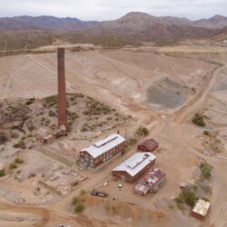
Small Unmanned Aerial Systems (sUAS)
This system combines an unmanned aerial vehicle (UAV, also known as a drone), a ground-based controller, and a system of communication between the two. The flight of UAVs operate under the remote control of a human operator and are capable of carrying a variety of sensors, including RGB
(color), multispectral, and thermal imaging; video; and LiDAR.
- Multispectral imagery and processing: NDVI, NDRE, OSAVI
- Color (RGB) imagery and processing
- Videography
- Digital terrain models and digital surface models
- Contours
- Orthophotography and orthomosaics
- Asset inspection
- Construction monitoring
Geographic Information Systems (GIS)
This system is designed to capture, store, manipulate, analyze, manage, and present all types of geospatial data. GIS applications are tools that allow users to create interactive queries, analyze spatial information, create and edit data in maps, and present the results of these inquiries graphically as intelligent maps.
- Geospatial analysis
- Cartography
- Database design and administration
- 3-D modeling and visual simulations
- Asset-management systems
- Geoportal creation and maintenance
- Web-based GIS portal
- Scripting and tool development
- Data acquisition, translation, and scanning
- GIS consulting and training